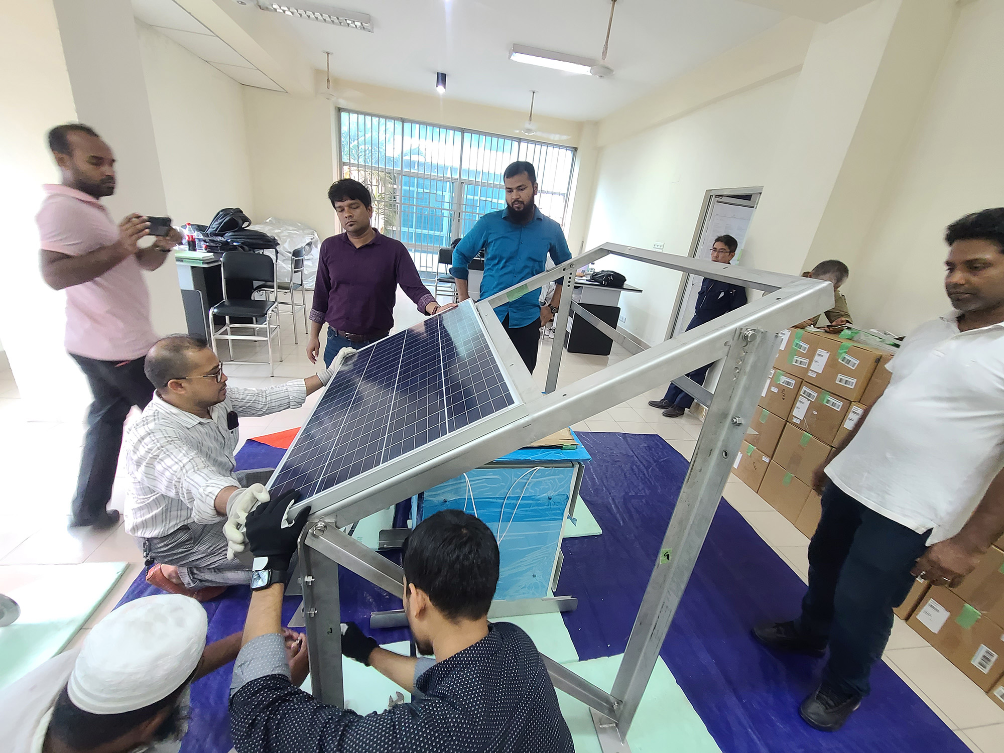
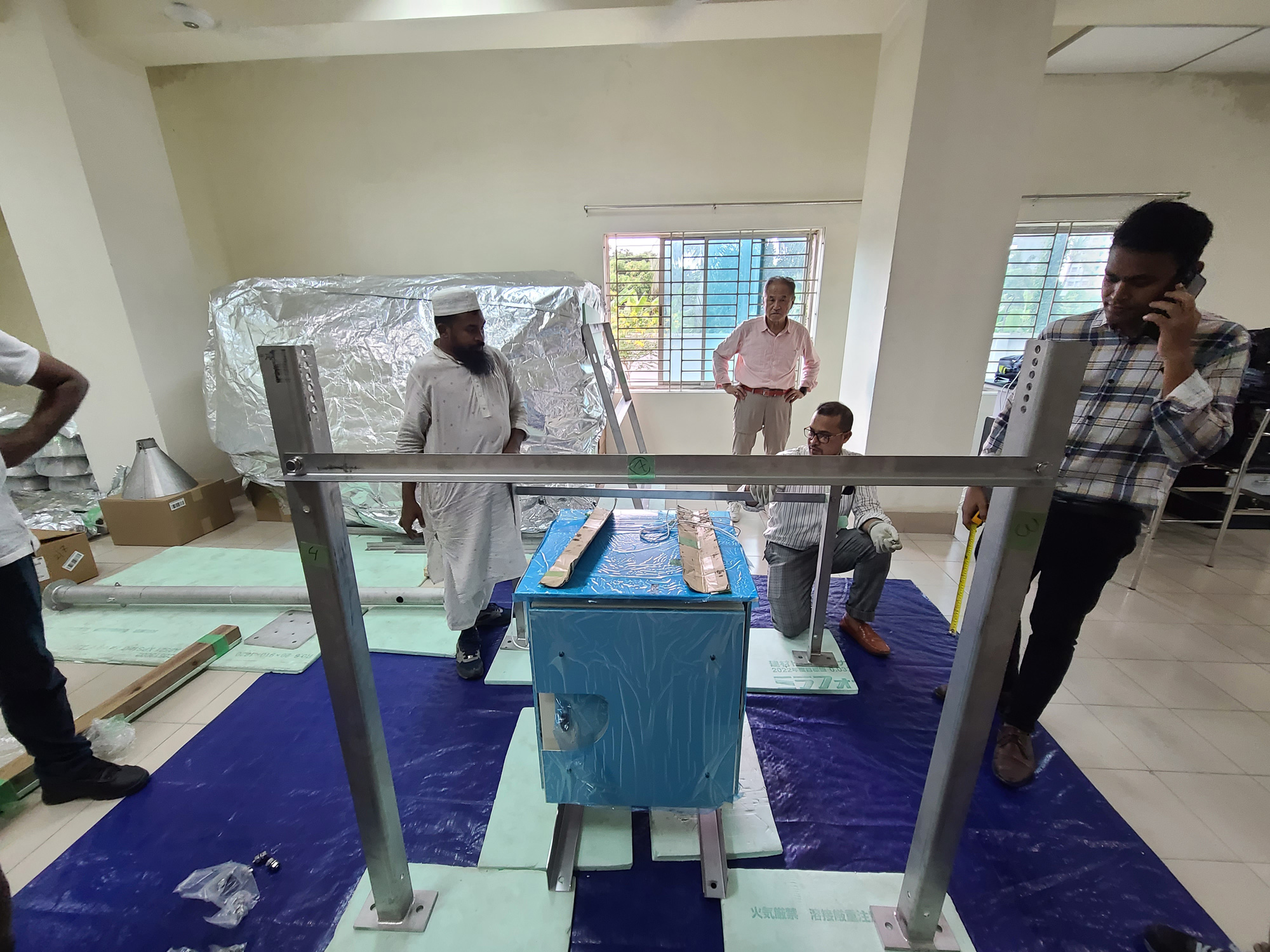
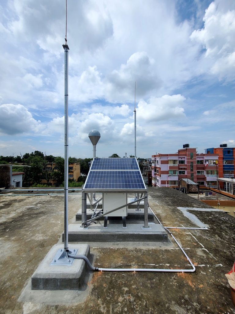
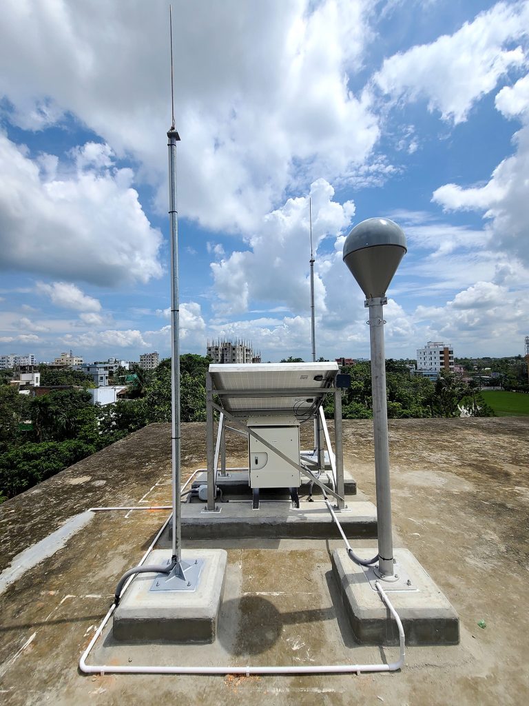
The Survey of Bangladesh is undertaking the Densification of Global Navigation Satellite System Continuously Operating Reference Station (GNSS CORS) Network and the Modernization of Tidal Stations. This project will cover 73 locations across the country, bringing Bangladesh under a comprehensive GNSS CORS network.
Key Benefits
Accurate Positioning & Navigation: Using signals from global systems such as GPS, GLONASS, Galileo, and Beidou, GNSS CORS provides high-precision positioning, time, and speed data.
Earthquake Prediction & Disaster Preparedness: GNSS CORS helps monitor tectonic movements, offering vital data for predicting earthquakes and enhancing disaster response.
Survey & Infrastructure Development: The network supports topographic and cadastral surveys, contributing significantly to national development projects.
Project Details
Main Contractor: Toyota Tsusho Corporation
Sub-contractor: Tec International Corporation
Local Contractor: Project Promoters Private Limited
Technology Impact
GNSS CORS technology enables real-time GNSS data corrections, enhancing the precision of geodetic control points and aiding development work. The network provides reliable GNSS reference data to users, supporting various applications including geospatial surveys and environmental monitoring.
This project is generously funded by a grant from JICA (Japan International Cooperation Agency), reinforcing the partnership between Bangladesh and Japan in advancing digital infrastructure.